
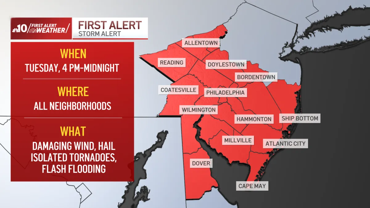
Today will be hot, humid and mostly cloudy, with a few pockets of fog and low clouds during the morning. Temperatures will start slightly warmer than yesterday.
Afternoon temperatures will climb to 91°F, with a heat index near 98°F. A heat advisory is in effect for the area. While a passing shower is possible during the day, the risk of severe thunderstorms will increase late this afternoon and especially this evening.
Storms could bring damaging winds, hail, isolated tornadoes and heavy downpours capable of causing flash flooding. In many neighborhoods, storms may not develop until the evening. The First Alert is in effect from 4 p.m. to midnight.
Severe storm chances continue Wednesday and Thursday
Wednesday will remain mostly cloudy, warm and humid, with temperatures in the low 80s. Scattered afternoon thunderstorms are possible, and some could become strong to severe.
Thursday will bring another mostly cloudy and steamy day, with a high near 90°F and afternoon conditions feeling closer to the mid-90s. Isolated strong to severe storms are possible again.
Cooler, more comfortable weather arrives Friday
Conditions will improve significantly Friday and continue through the holiday weekend as a cold front moves through the area. Friday’s high will reach 87°F, followed by mostly sunny skies and more comfortable conditions Saturday with a high near 81°F.
Sunday and Labor Day Monday will feature low humidity, with temperatures in the upper 70s to near 80°F.
For the latest weather updates, download the NBC10 app and follow the NBC10 First Alert Weather team.
Source: www.nbcphiladelphia.com